Super El Niño Strengthens, Shaping November Weather and the 2026/2027 Winter Season
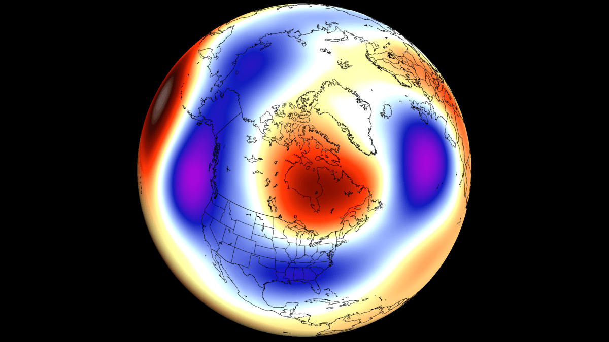
A rapidly intensifying Super El Niño is set to become the strongest in more than seven decades, reshaping weather patterns across North America and Europe as winter approaches.
Super El Niño Overview
The Super El Niño in the Pacific continues to strengthen and is forecast to reach a slow peak around late December. Based on the latest data, it is on track to become the strongest El Niño event in over 70 years.
This warm temperature anomaly in the equatorial Pacific is driving major changes in global pressure and wind patterns, which are already evident in the atmosphere.
Atmospheric Signature
Recent analysis of the last 15 days shows a clear Super El Niño signal:
Rising air motion (blue) is strong in the central and eastern Pacific, directly over the El Niño region.
Sinking motion (red) is detected in the Maritime area, indicating a highly modified Walker Cell.
These changes confirm a robust Super El Niño imprint on the atmospheric circulation, setting the stage for the upcoming season.
Sea‑Surface Temperature Anomalies
NOAA CRW data reveal peak temperature anomalies exceeding +8 °C (+14.4 °F) above normal. The event is characterized as an “east‑based” El Niño, meaning the warmest anomalies are located farther east than typical.
Implications for November Weather
November forecasts for North America resemble past strong El Niño events, while Europe is experiencing a pattern opposite to previous El Niño Novembers.
Seasonal models suggest the Super El Niño will dominate the 2026/2027 winter, promoting a southern storm track and bringing colder conditions to the southern and central United States.
Interaction with Stratospheric Events
In addition to the oceanic driver, a stratospheric warming event is disrupting the polar vortex, with a flow reversal projected in the stratosphere. This unusual combination may delay impacts on surface weather by up to three weeks or more.
Key Takeaways
The Super El Niño is rapidly intensifying and may become the strongest in over seven decades.
Atmospheric analyses show a dramatically altered Walker Cell, with strong upward motion over the Pacific and sinking motion in the Maritime region.
Winter 2026/2027 forecasts point to a southern storm track and colder weather across the southern and central United States, while Europe faces an atypical pattern.
Continued monitoring will be essential as the Super El Niño progresses toward its peak and influences global weather patterns.